

Discover the Dominican Republic
The interactive map, the AI planner and the editorial guides of the DR in one place. Explore like a local, plan like a pro.
A whole Caribbean, one island.
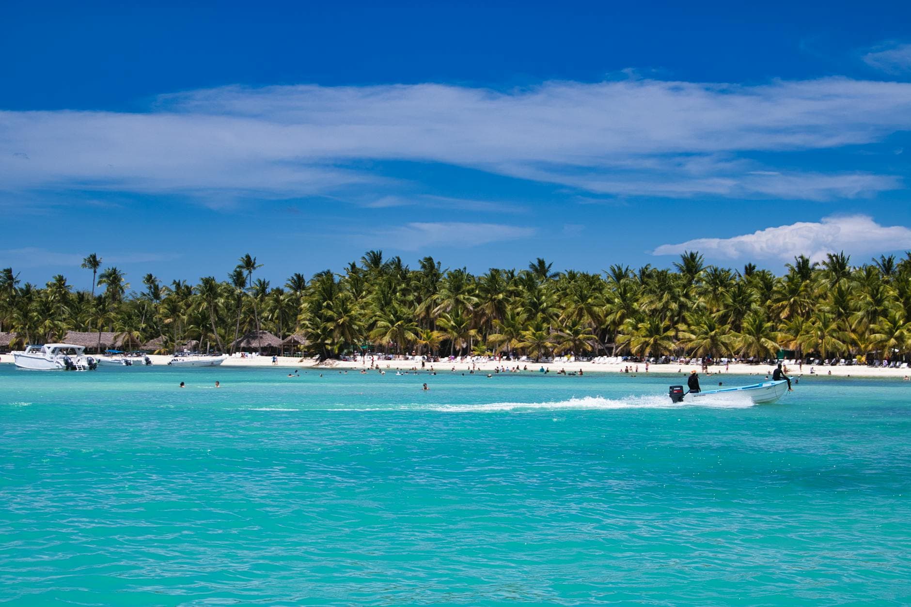
The Dominican Republic packs the most variety in the Caribbean into a 6-hour drive. Sunrise on a 48 km beach in Punta Cana; the same afternoon, river rafting through pine forest at 540 m altitude in Jarabacoa; that night, dinner in the first cathedral of the Americas in Santo Domingo's Zona Colonial — UNESCO World Heritage since 1990.
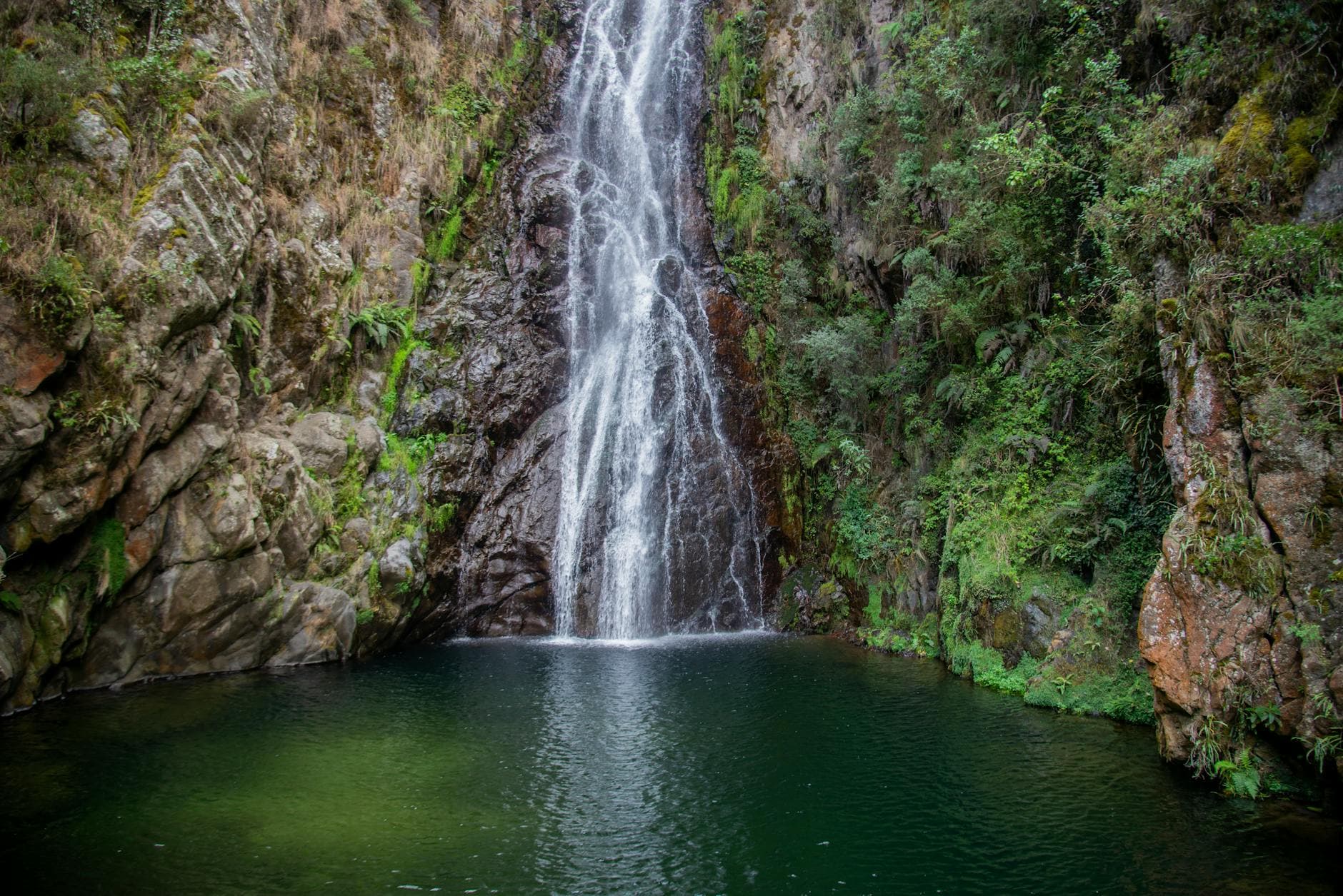
From January to March, humpback whales calve in Samaná Bay; from April to October, kitesurfers chase trade winds in Cabarete; year-round, 27 waterfalls wait in Damajagua, hot springs simmer in the Cibao mountains, and chimi food trucks serve the country's signature street sandwich after midnight.
This map is built by locals, for travelers who want the version after the resort gate: 166 destinations, 40 categories, 1096+ places with real photos, opening hours, the local price, and how to get there.
What do you feel like?
Beaches, waterfalls, food, adventure, culture and more across the Dominican Republic.
Four corners you have to see.
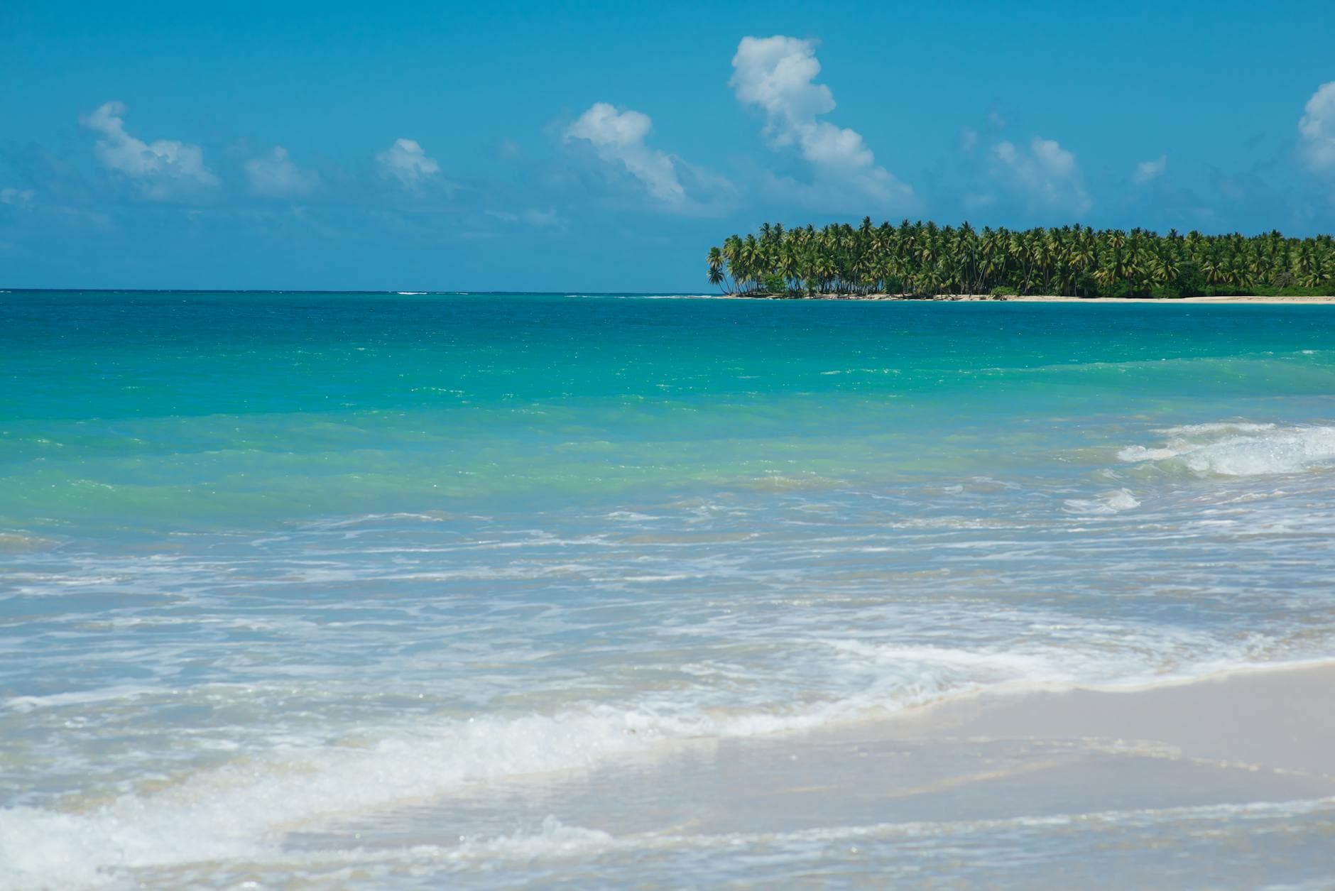
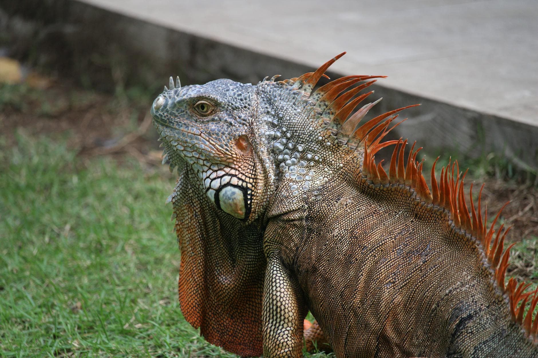
Dream beaches, whales, green mountains and wild nature. The DR in four destinations.
The best month for your trip.
Tropical year-round. Peak December–April. Whales January–March. Hurricane season August–October.
| Period | Climate | What stands out | Good for |
|---|---|---|---|
| Dec – Apr | 26–30 °C · dry | Peak season, full sun, calm sea | Beach, snorkel, Saona, Bávaro |
| Jan – Mar | 24–28 °C · dry | Humpback whales in Samaná Bay | Whale watching, Las Terrenas, El Limón |
| May – Jul | 28–32 °C · brief showers | Green countryside, fewer crowds, lower prices | Jarabacoa, Constanza, waterfalls |
| Aug – Oct | 29–33 °C · hurricane season | Cheapest. Storm risk: monitor forecast | Budget travel, surfing in Cabarete |
| Nov | 27–30 °C · drying out | Shoulder season, season opens | Everything, balanced prices |
Latest places.
Beaches, restaurants, viewpoints and adventures curated by our local team.
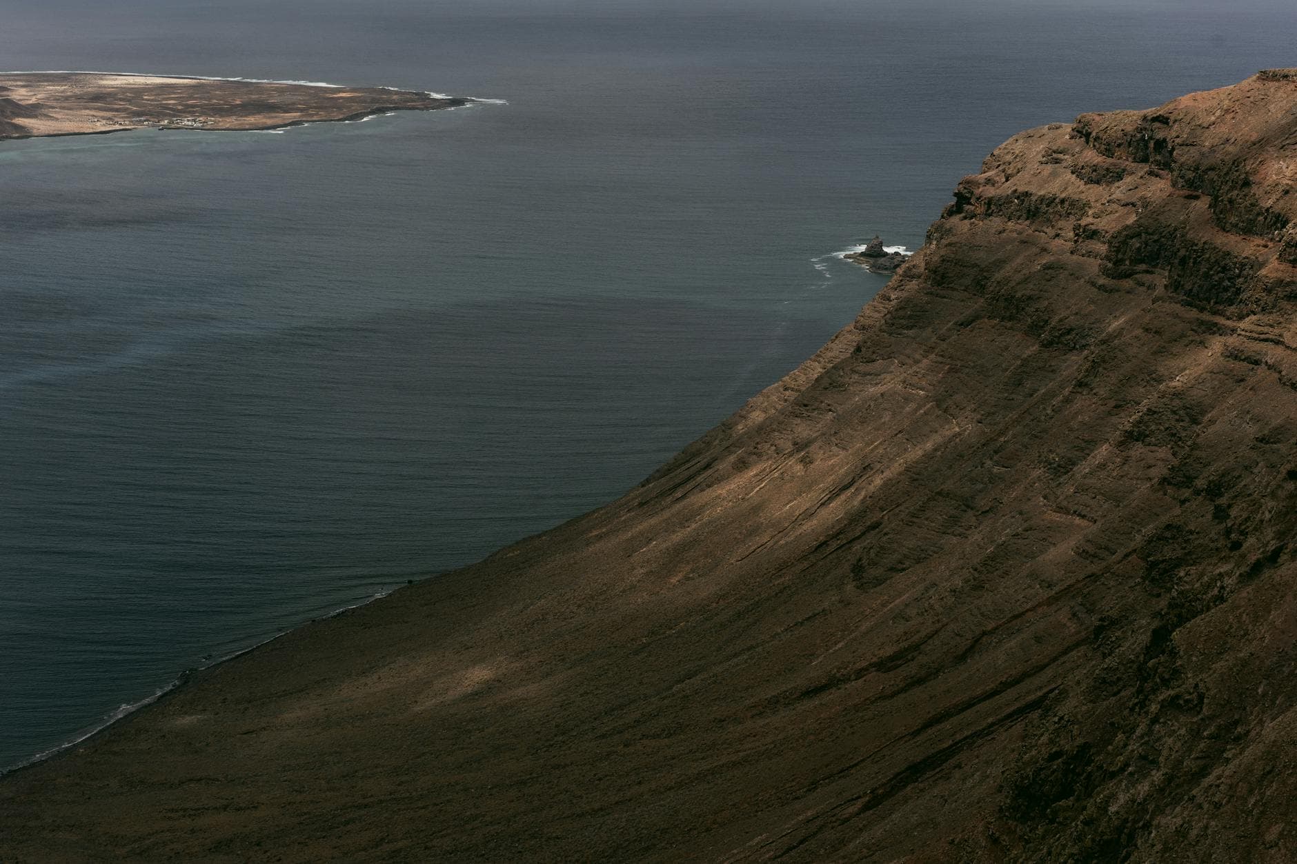
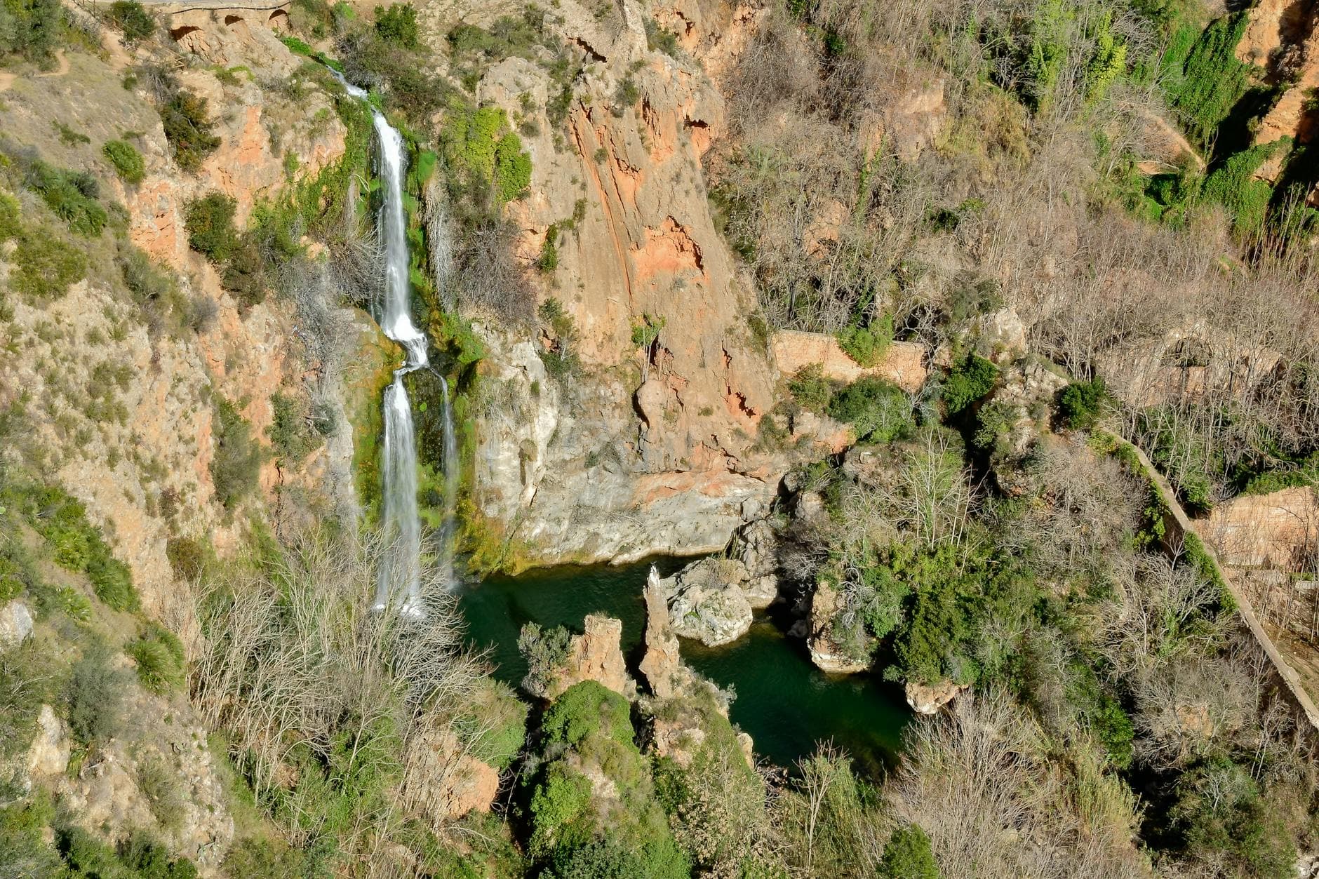
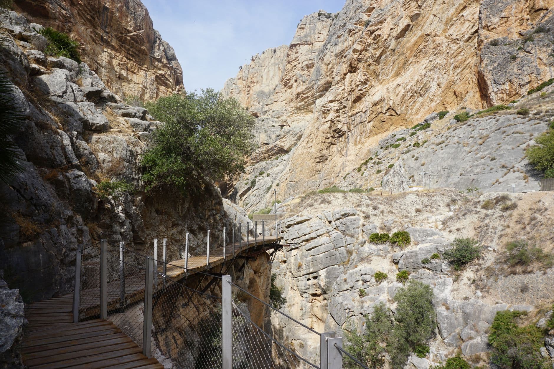
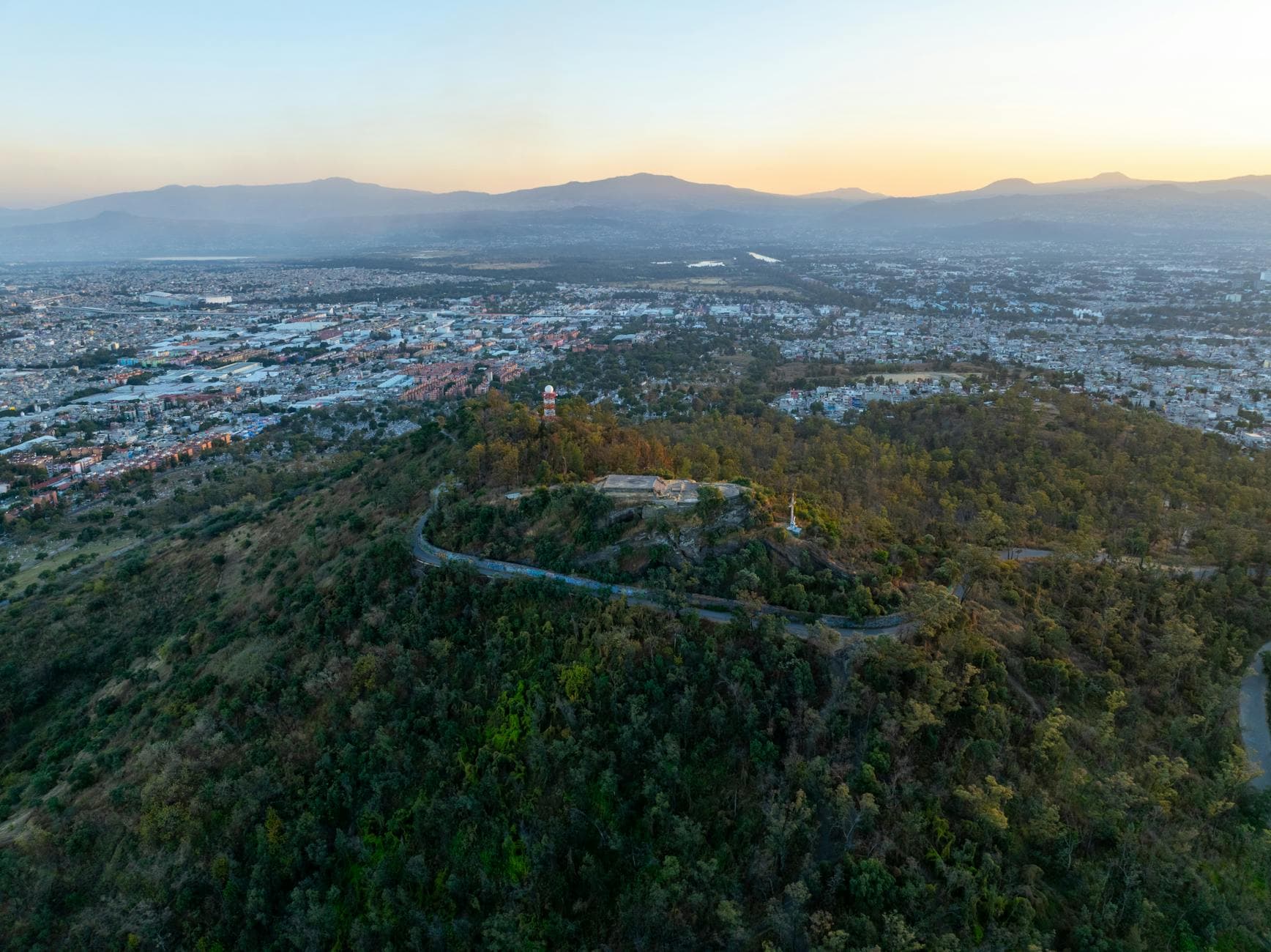
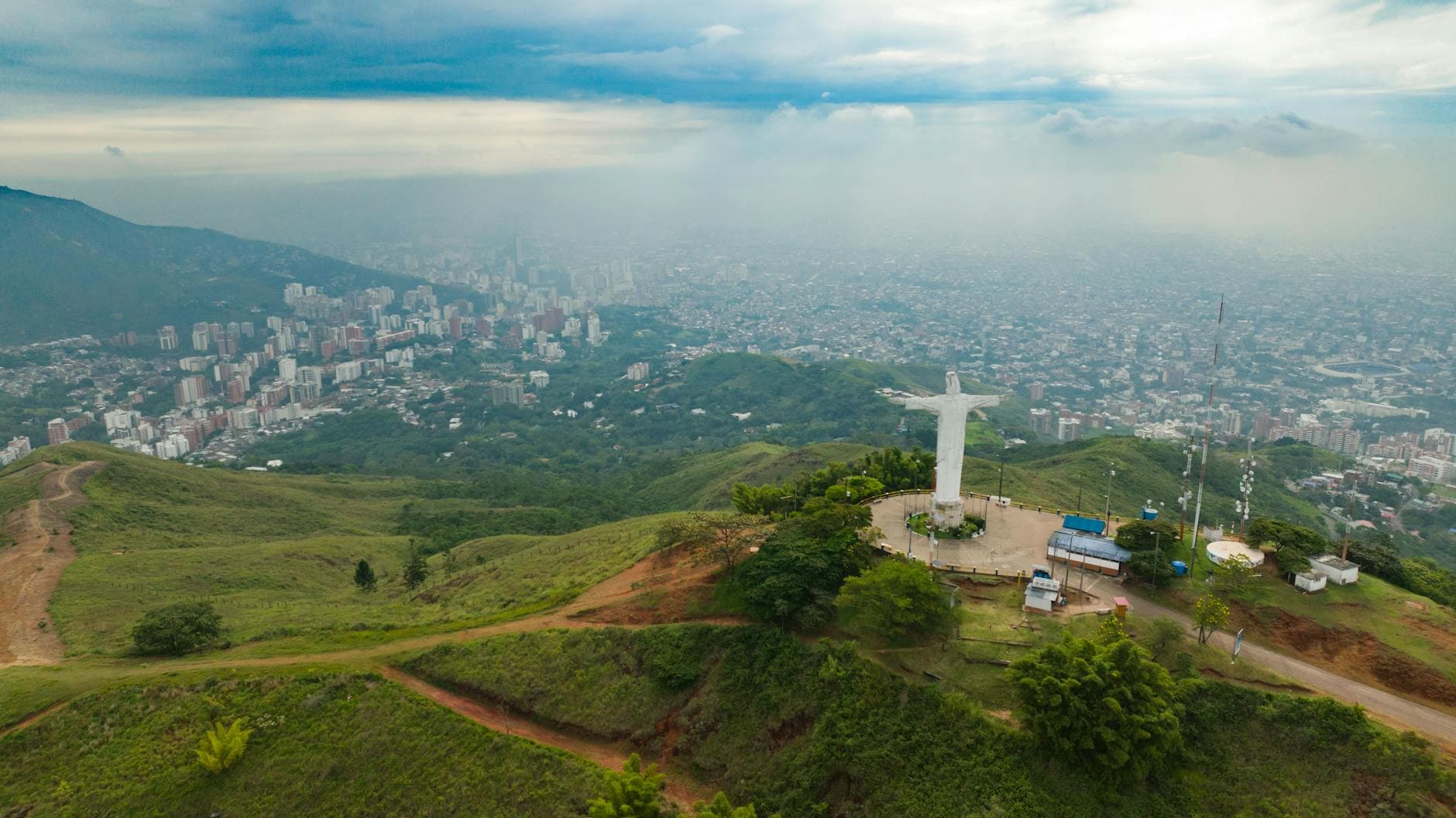
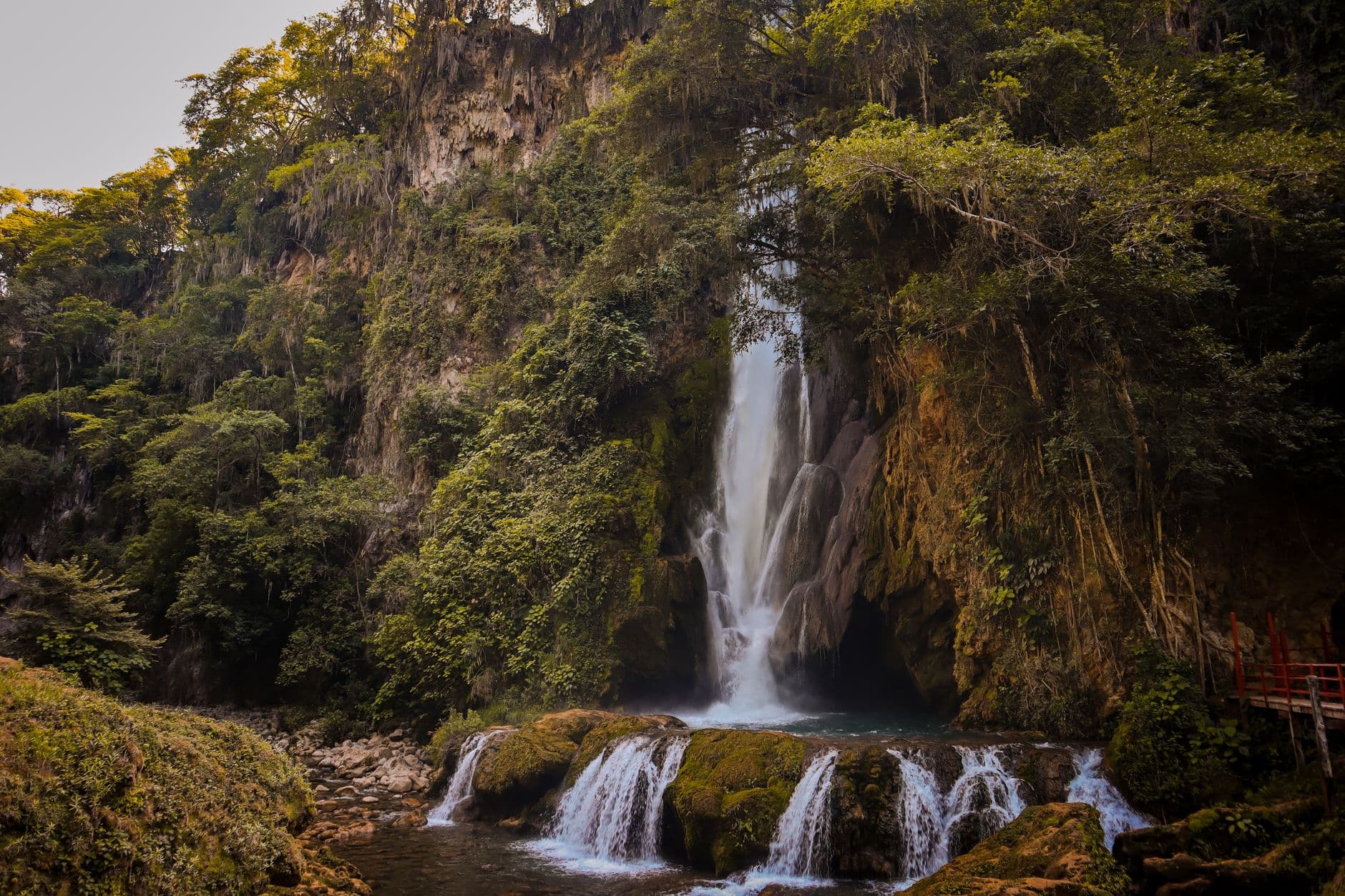
Four corners of the island.
East beaches, Northern whales, Cibao mountains, Southwest desert. Each region, its own DR.
White-sand beaches, all-inclusive resorts, reefs, Saona and Catalina islands. Where most international flights land.
ExploreHumpback whales (Jan–Mar), El Limón waterfall, Cayo Levantado, kitesurf in Cabarete and surf at Playa Grande.
ExploreCaribbean Alps. 540 m+ altitude, pine forest, white-water rafting, Pico Duarte (highest peak in the Antilles, 3,098 m).
ExplorePebble beaches, deserted bays, virgin national parks. The wildest, least touristed Dominican Republic.
ExploreRead it before you go.
Itineraries, comparisons and practical advice written by our local guides.
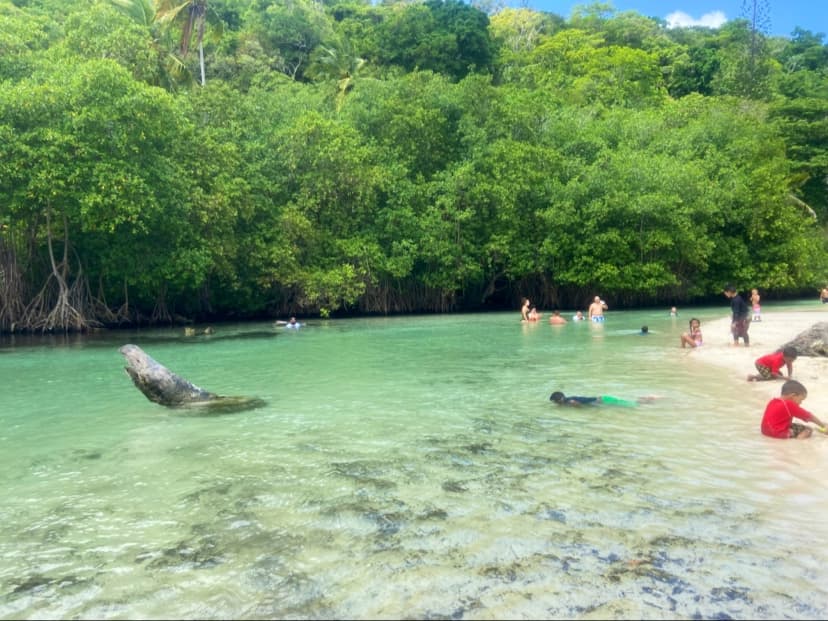
Frequently asked questions.
¿Cómo activo el mapa de ExploraRD?
¿Cuánto cuesta usar ExploraRD?
¿Funciona en iPhone y Android?
¿Cada cuánto se añaden lugares nuevos?
¿Cómo busco lugares en el mapa?
¿Habrá lugares nuevos en mi destino?
¿Cómo me comunico con el equipo de ExploraRD?
¿Cómo añado mi lugar o negocio al mapa?
Open the map and start exploring.
Over 1096 curated places — beaches, waterfalls, restaurants, adventures and more. Filter by destination, category or search the map.
Open the interactive mapOr let the AI plan your trip